Evidence record · Ulster
1609 ADSurveyors Prepare the Ulster Plantation
Officials mapped confiscated counties and allocated land to English and Scottish undertakers, servitors and selected Irish tenants under detailed settlement conditions.
Open the interactive frame→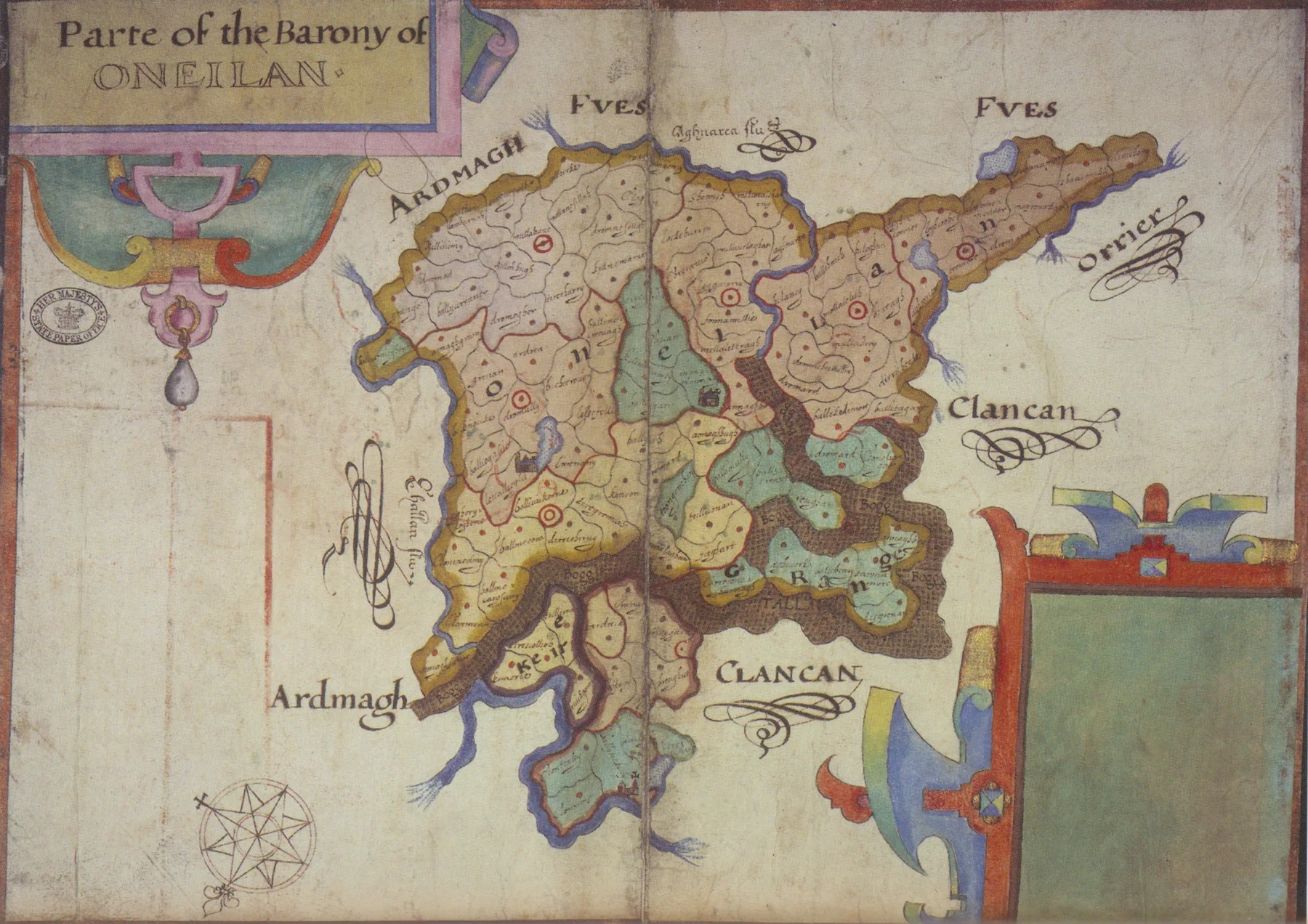
Why it matters
Government made visible
Evidence dossier
Read this moment as a hinge
2 minute source-led readPower becomes procedure
Read 1609 AD as a hinge, not a label. Officials mapped confiscated counties and allocated land to English and Scottish undertakers, servitors and selected Irish tenants under detailed settlement conditions. That places “Surveyors Prepare the Ulster Plantation” between “Ulster Plantation” and “London Companies Build New Towns”, while land, law, confession and settlement were being locked together into a durable order.
Follow the material pressure
Bring the frame down to one life in Ulster: the person at the desk—or across it—where policy becomes an instruction. The public event is the visible surface; underneath it sits offices, law, taxation and bureaucracy turning a decision into daily reality, intersecting with land, food, wages, rent, trade and debt beneath the public argument.
What this changes next
Officials mapped confiscated counties and allocated land to English and Scottish undertakers, servitors and selected Irish tenants under detailed settlement conditions. Its importance lies in the altered field it leaves behind: the next actors inherit different risks, institutions and choices. Remove this record and the move from “Ulster Plantation” to “London Companies Build New Towns” becomes much harder to explain.
Unexpected angle“Josias Bodley’s 1609 map of Oneilland, County Armagh, made during the Ulster survey” is a direct archival trace, but it is still an argument made by framing. Ask what sits outside the image before treating visibility as completeness.
Source ledger